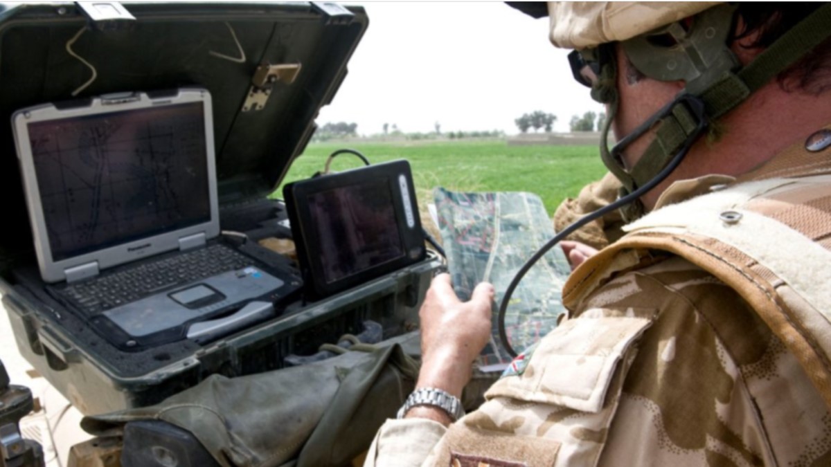
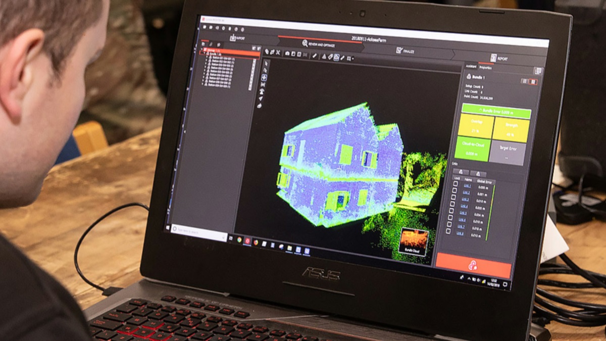
What we do
DGIWG addresses interoperability challenges between nations by creating Defence profiles for open standards to enable the exchange, delivery, and use of standardised geospatial information. DGIWG profiles and standards are supported by implementation guidance and procedures wherever possible, and DGIWG only develops new bespoke standards when no suitable open standard exists. We also provide advice and assesses future trends to meet the next generation of interoperability challenges. At the heart of DGIWG’s interoperability efforts is the DGIWG Geospatial Reference Architecture (DGRA).